|
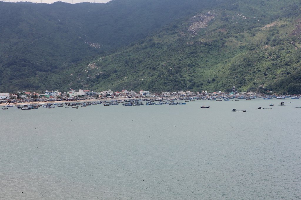 |
| Blue fishing boats | |
| Latitude: N 12°49'4,11" | Longitude: E 109°21'32,28" | Altitude: 34 metres | Location: Dai Lanh | State/Province: Kon Tum | Country: Vietnam | Copyright: Ron Harkink | See map | |
| Total images: 26 | Help | |
|
|
|
| Blue fishing boats | |
| Latitude: N 12°49'4,11" | Longitude: E 109°21'32,28" | Altitude: 34 metres | Location: Dai Lanh | State/Province: Kon Tum | Country: Vietnam | Copyright: Ron Harkink | See map | |
| Total images: 26 | Help | |